My wife had picked us up at the end of our canoe trip at Sedge Bay on the 10th and we returned to the Grant Village Campground for the night where we met two of our friends who were going to hike the trail with us. This would be my third time completing the Mary Mountain Trail in the last 30 years, and it would be my sixth time to Mary Lake (I approached the lake three other times along the Trout Creek stagecoach road), making Mary Lake my most visited backcountry lake in Yellowstone. Other than me, all the others had never done the Mary Mountain Trail before. With our route going to Violet Hot Springs, it put the total distance of our hike at 21.1 miles.
We started around 7:00 am on the Hayden Valley side, and at the beginning it was still pretty chilly, but once the sun rose a bit further in the sky it became a perfect day for the hike. Along our way, we ran into numerous bull Bison, and on the western end of Hayden Valley, we spotted a Grizzly Bear grazing along a hillside. We watched it for a couple of minutes before it got wind of us and headed up and over the hill.
We stopped at the Mary Lake Patrol Cabin and had a nice lunch before heading west and down into the meadows along Nez Perce Creek, and then on to Lower Geyser Basin and trail's end. The hike took us a bit over eleven hours to complete and I was pretty worn out by the end.

Map of the eastern portion of our hike

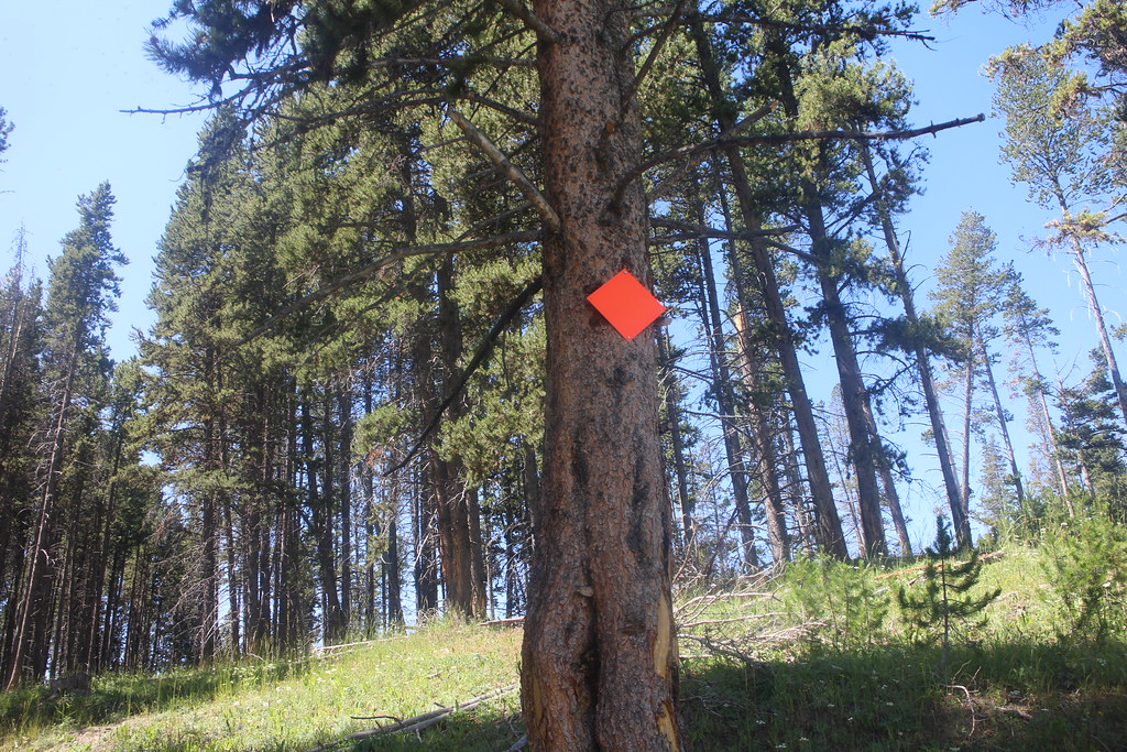
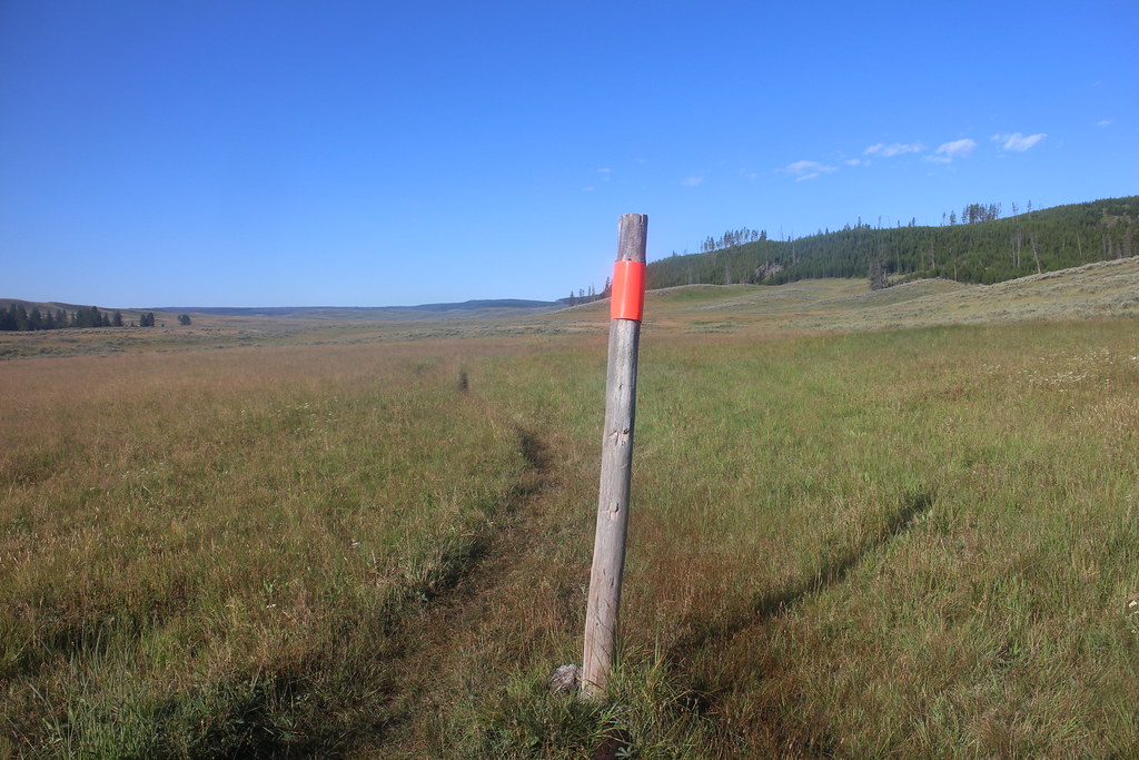
The Mary Mountain Trail signpost at the north end of Hayden Valley

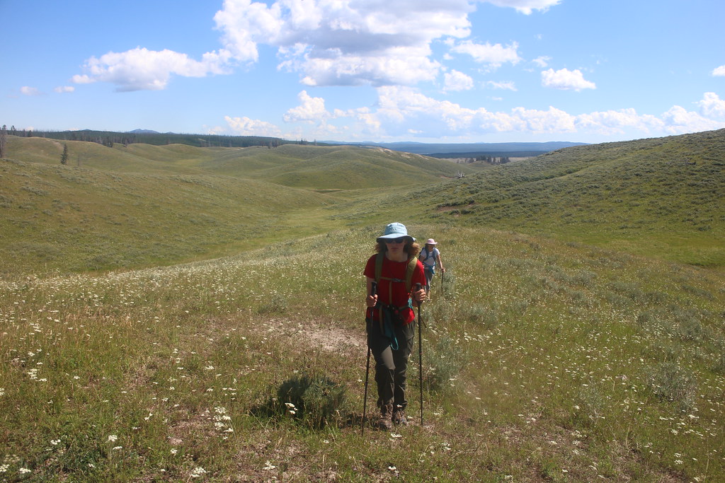
Of course, I'm bringing up the rear
Looking south from the trail towards Crater Hills and Sulphur Springs
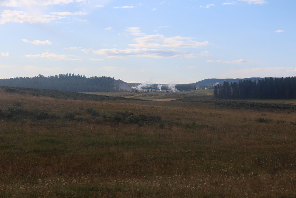
Looking west across Hayden Valley
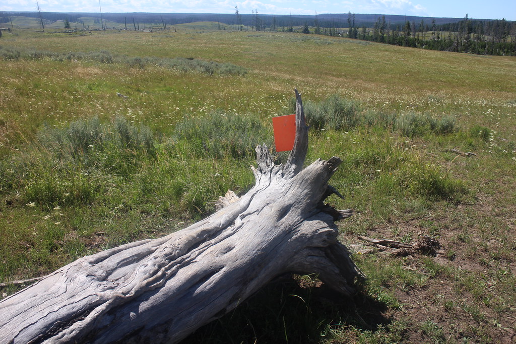
The last standing trail marker. Bison tend to knock these over over time

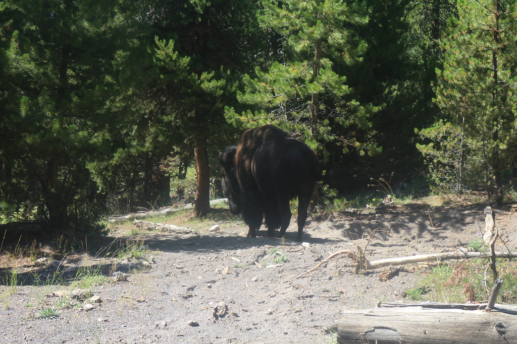
You shall not pass!

Alum Creek, gently flowing through Hayden Valley

Small cascades on Alum Creek
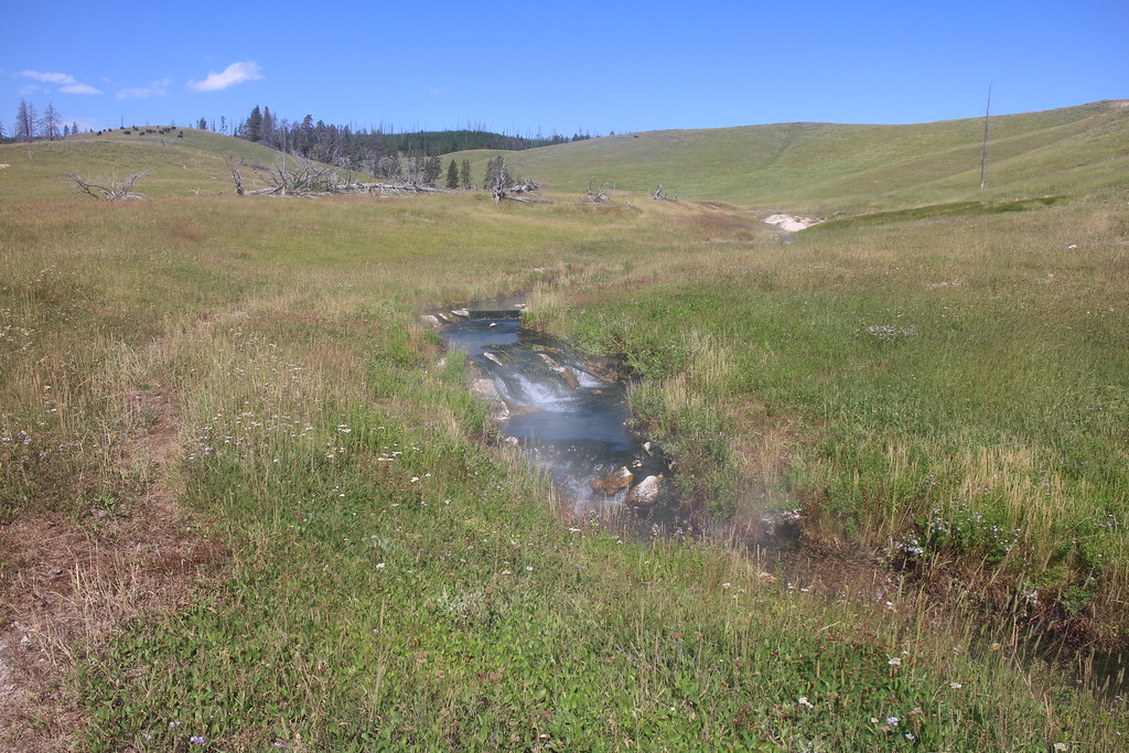
Violet Creek
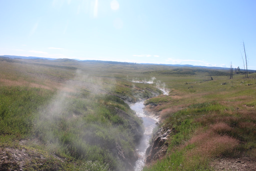
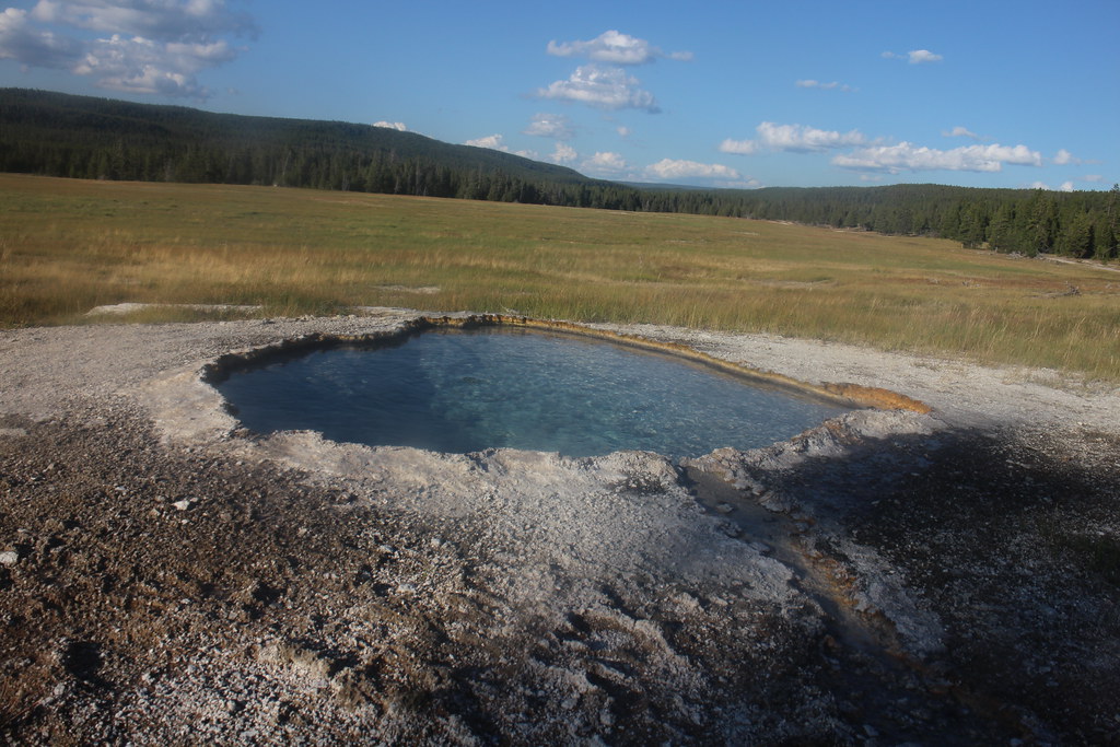
Approaching Violet Hot Springs
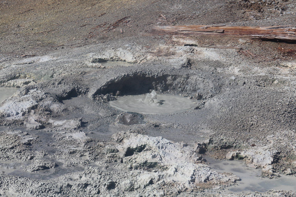
Mud pot in the Violet Hot Springs group
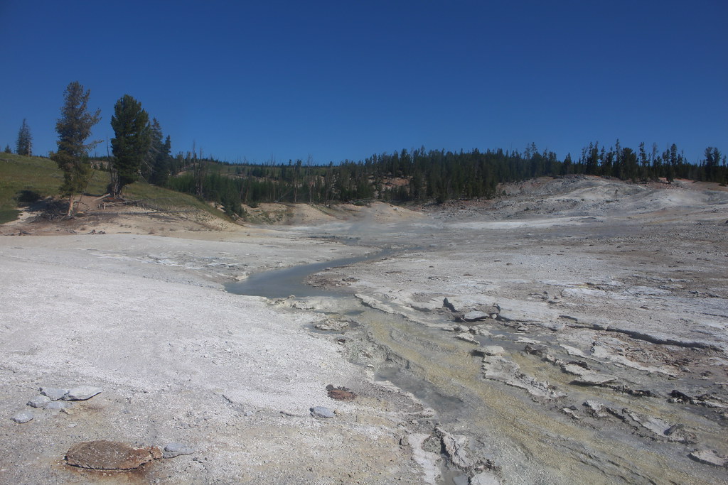
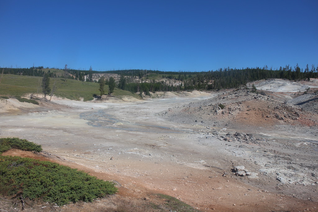
Violet Hot Springs thermal area
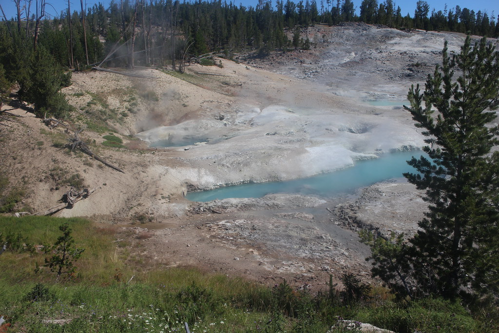
Violet Hot Springs thermal area

Sheila and Katie making their way back to the Mary Mountain Trail
More small cascades on tributary of Alum Creek
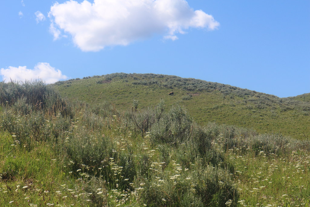
Grizzly Bear grazing on a hillside at the western end of Hayden Valley

Giving us a look as it makes its way up and over the hillside
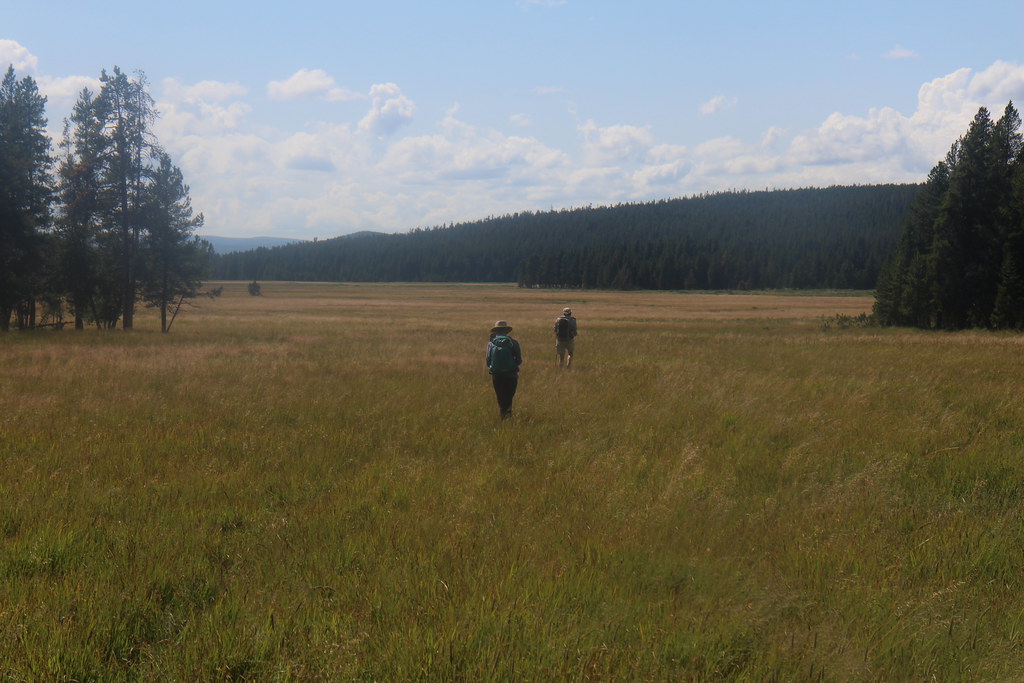
Making our way towards the Buffalo Highway - looking back east across Hayden Valley with Mount Washburn in the far distance. Not much of a trail at this point

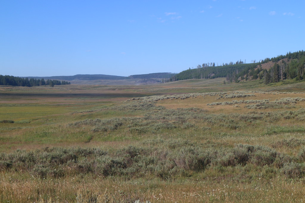
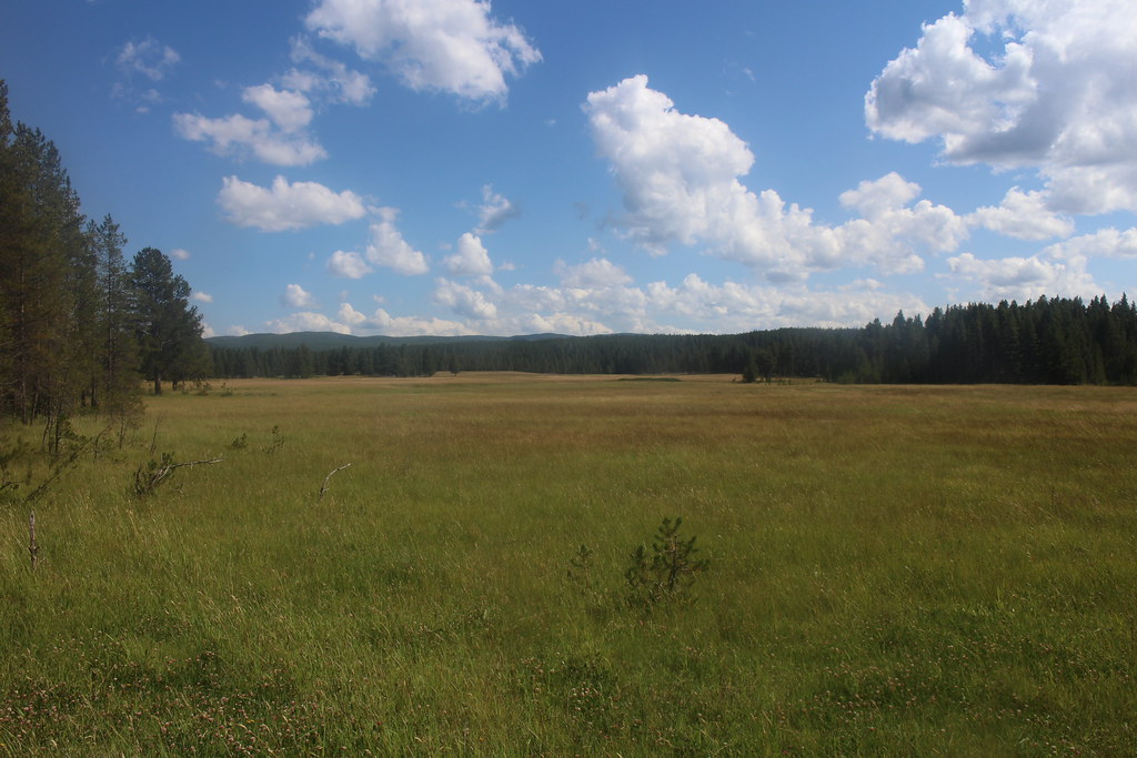
Looking back east across Hayden Valley from the west end of the valley
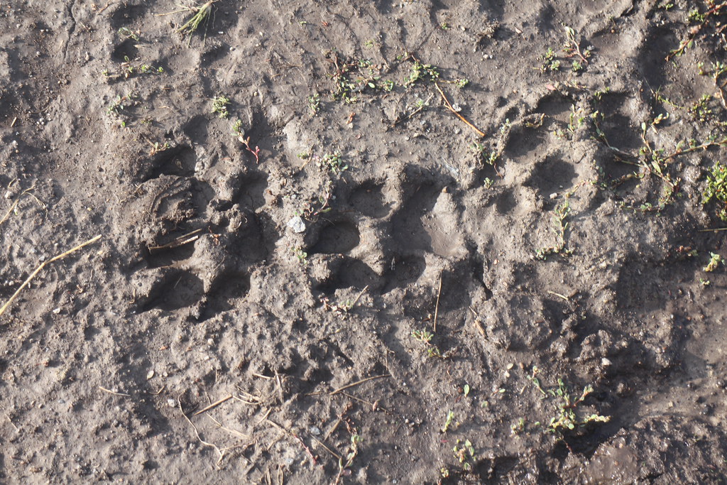
Wolf track along the trail - we encountered wolf track along almost the entire length of the trail
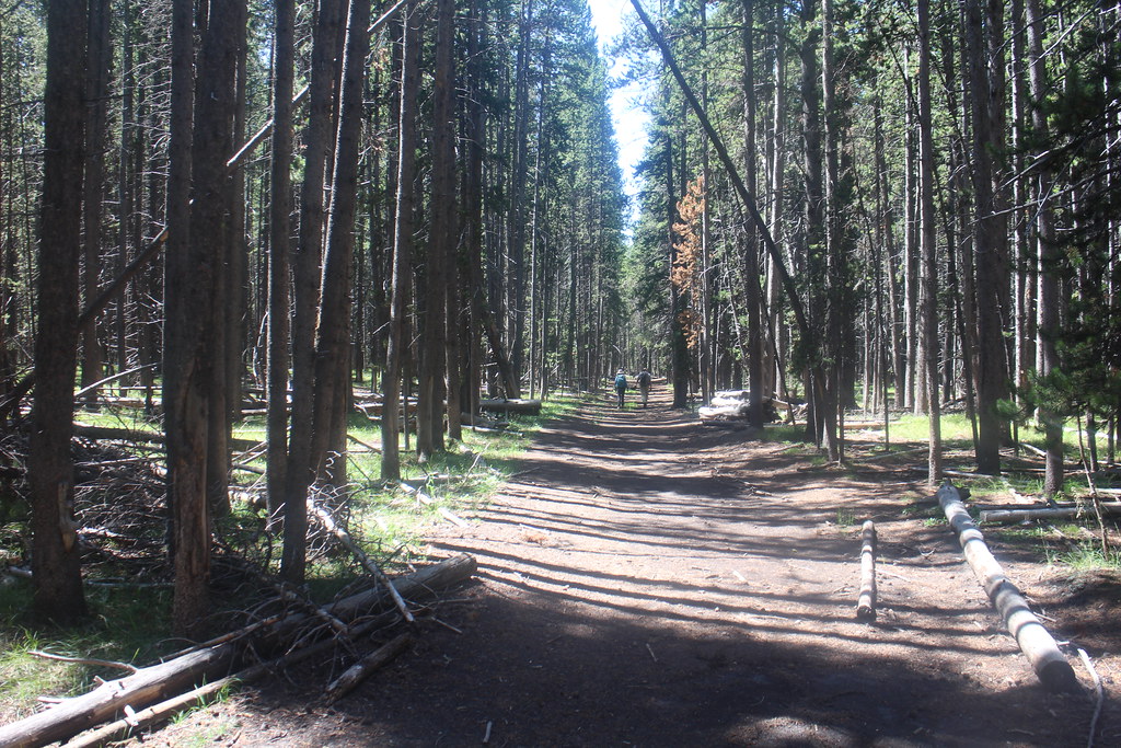
Hiking along the Buffalo Highway towards Mary Lake

Mary Mountain Patrol Cabin

Mary Lake
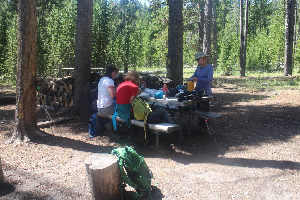
Lunch at the cabin

Visitor at the cabin

Map of the western half of the trail

Old man heading down Mary Mountain
I believe we have seen this young gentleman before
Breaking out into the meadows along Nez Perce Creek

The fate of the Cowan party
Meadows along Nez Perce Creek
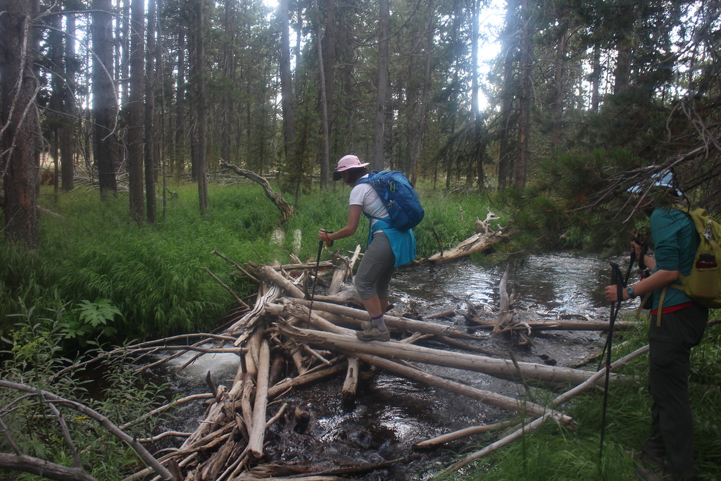
Crossing Magpie Creek

Nez Perce Creek

Old footbridge across Nez Perce Creek

Nez Perce Creek
Morning Mist Springs

Happy hikers at trail's end.