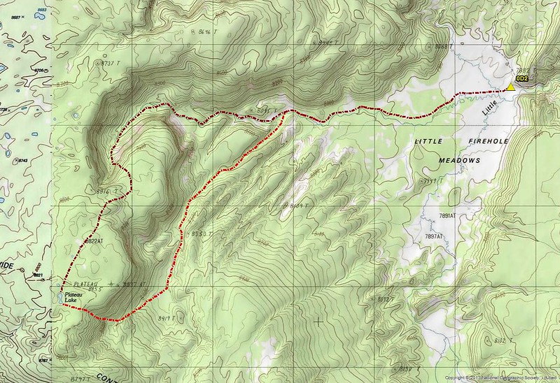
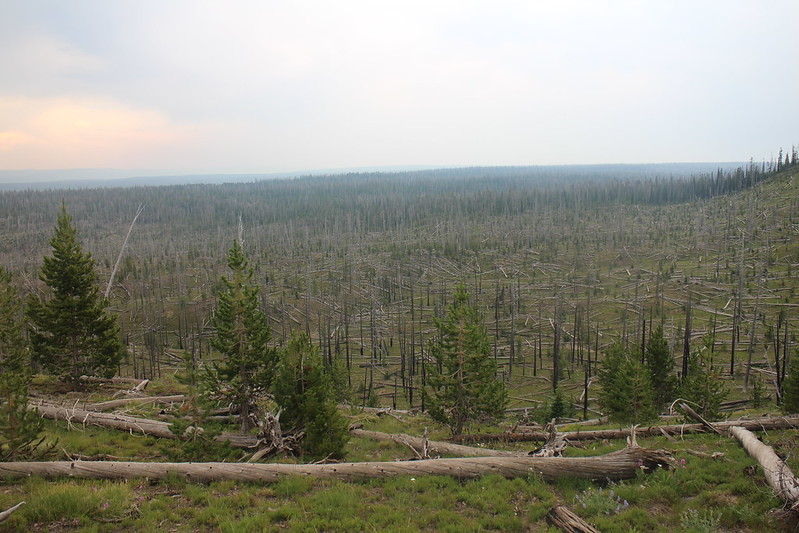
Day 1 - We began our roughly six mile trip at the Biscuit Basin Trailhead, crossing the Firehole River and then made our way along the boardwalks until we were officially on the trail. Soon, we found ourselves at Mystic Falls and then we began our climb up onto the plateau. Hiking across the plateau was mostly through old burn from back in 1988. The new trees in places are beginning to provide a little bit of shade after 30 years. Eventually though, we dropped back down to the Little Firehole and on to the meadows and our campsite.
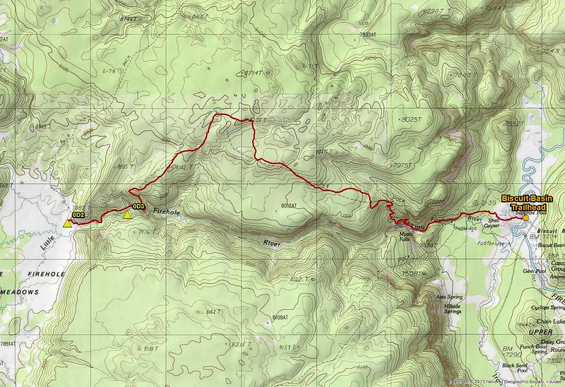
Day 1 map - backpacking into Little Firehole Meadows
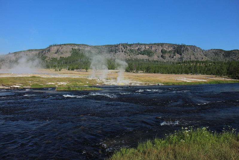
The Firehole River with some of the thermals of Biscuit Basin and the plateau beyond
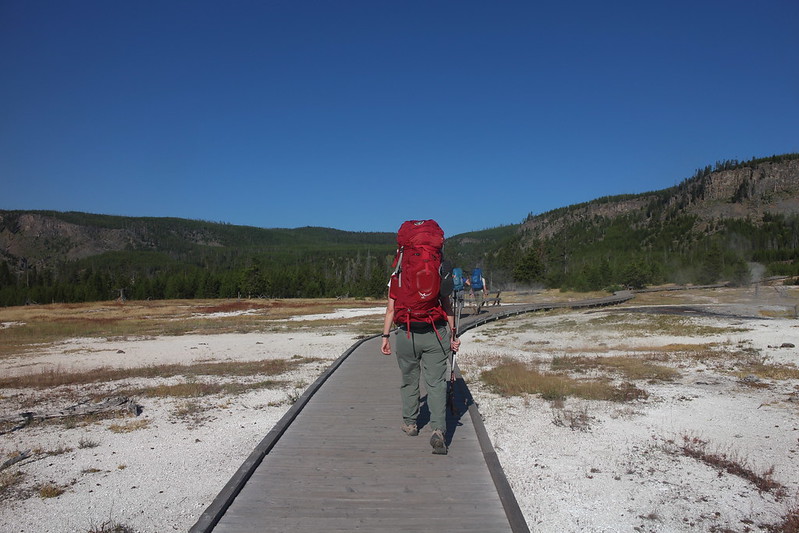
Backpacking along the boardwalks in Biscuit Basin
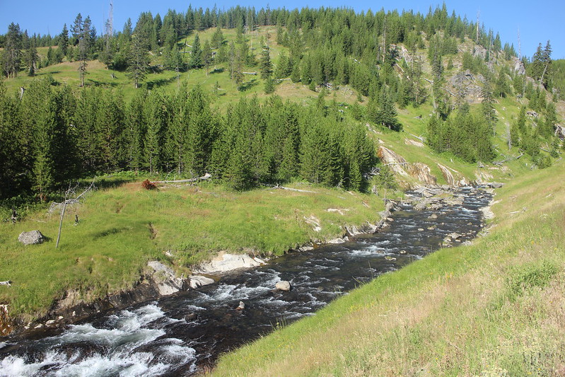
Following the Little Firehole River
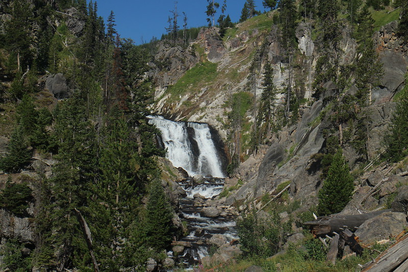
A portion of Mystic Falls
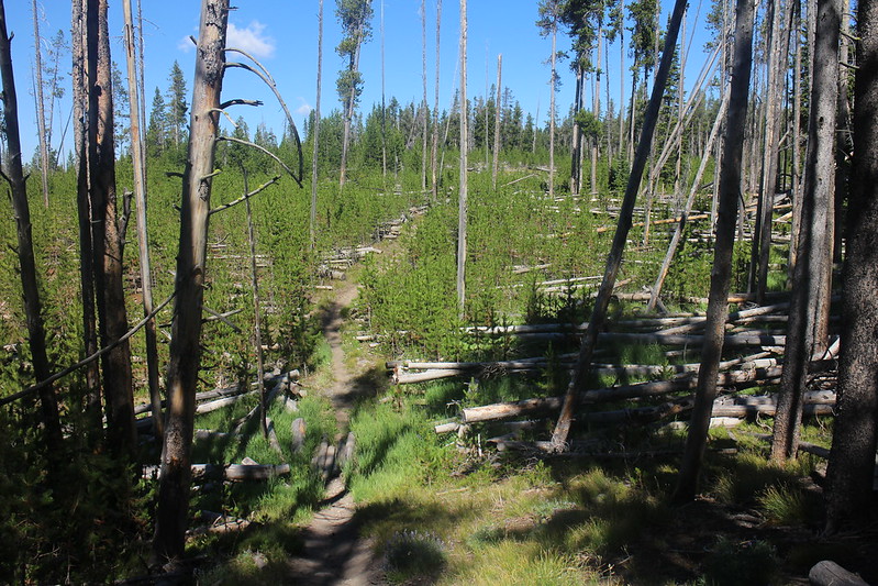
Typical view along the trail

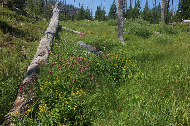
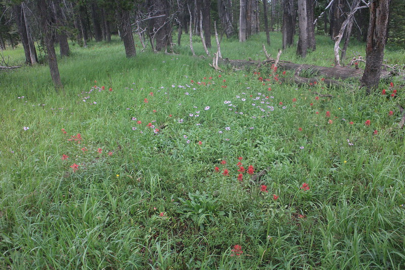
Abundant wildflowers along the trail - Lupine

Dropping back down off the plateau to the Little Firehole River
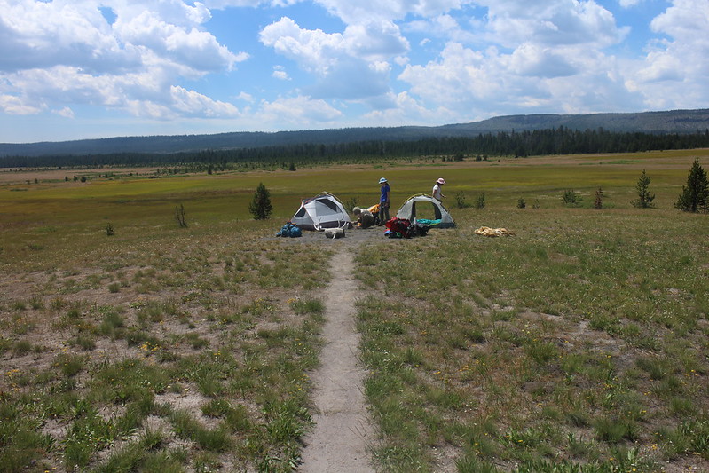
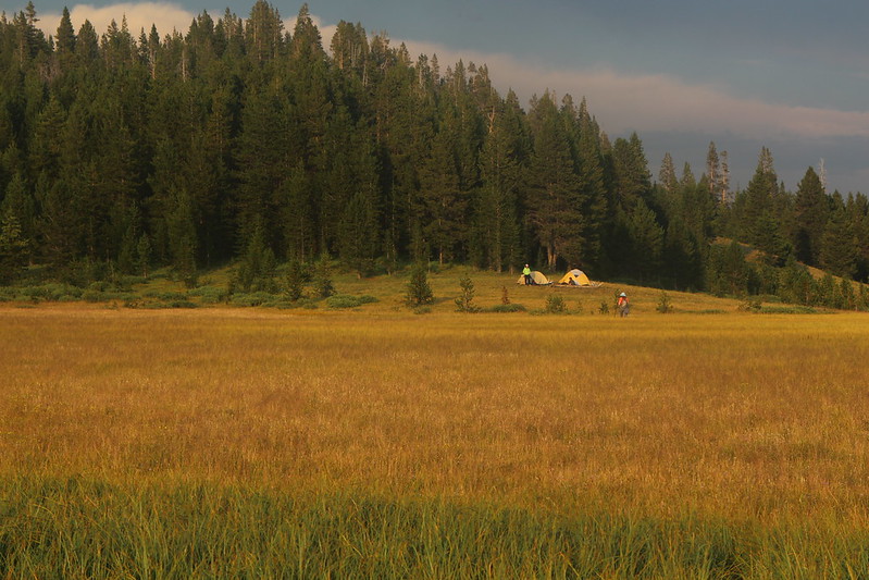
Setting up camp on the edge of the Little Firehole Meadows
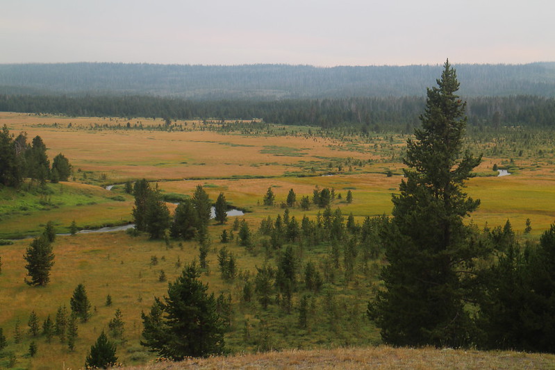
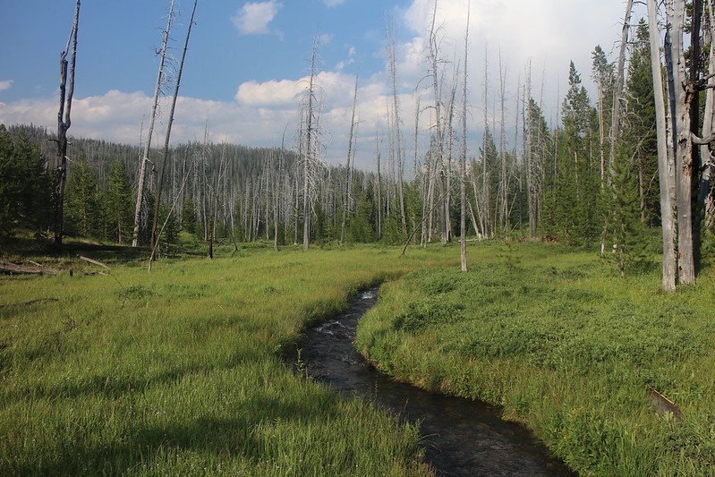
Late evening shot of the Little Firehole River flowing through the meadows.
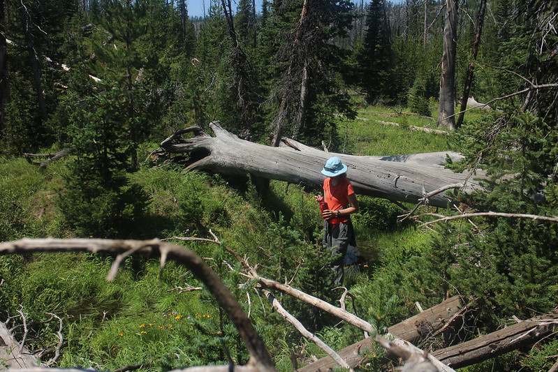
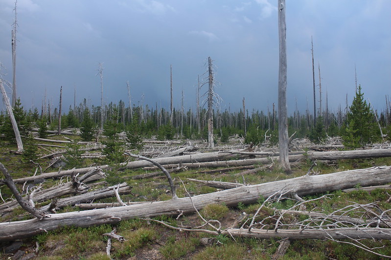
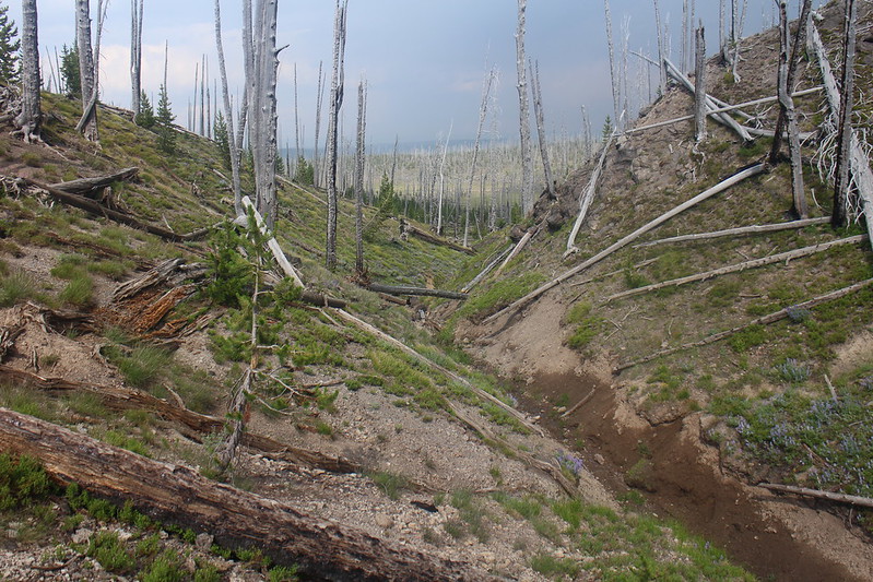
Day 2 - Up early on our second day to head out for Plateau Lake. This hike was all off-trail as we followed a drainage across the Little Firehole Meadows directly west of our campsite. We would be hiking approximately 10.5 miles roundtrip with 5.5 miles to the lake and 5 miles back, as we headed down a different drainage after leaving the lake, before returning to the route we hiked in on. The going along our route was marshy at times and once up on the Madison Plateau, we had to step over a lot of downfall from the 1988 fires that scorched the plateau.
We encountered a Marten up in a tree along our way, some Pikas on our climb up the plateau, and the wildflowers were tremendous too. On our way back down we had to withstand a nasty thunderstorm, but after about 30 minutes the sun popped back out for the rest of our way back to camp.
Day 2 map - Day hike to Plateau Lake and back
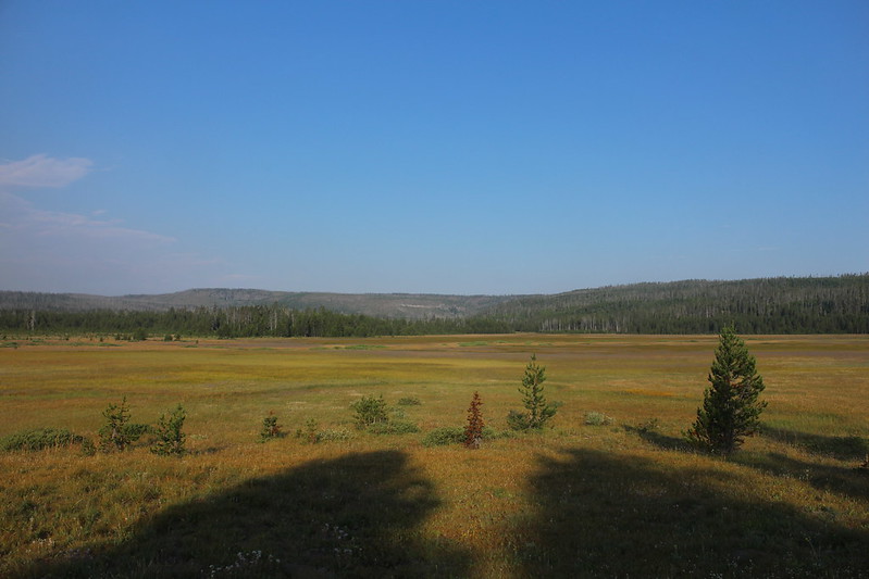
Looking west from our campsite across the meadows - the direction we will be heading
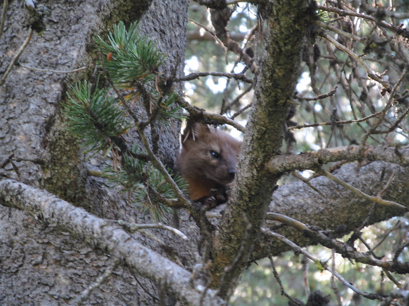
After crossing the meadow, we started up a finger meadow and ran into this guy.
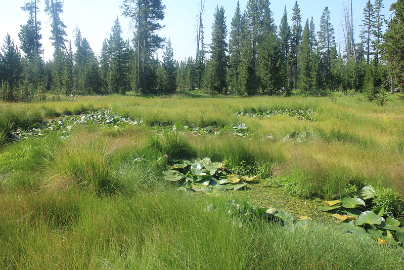
Small ponds with Lily Pads along our way
Wildflowers were just tremendous
Refilling our water bottles before beginning our climb up and onto the plateau
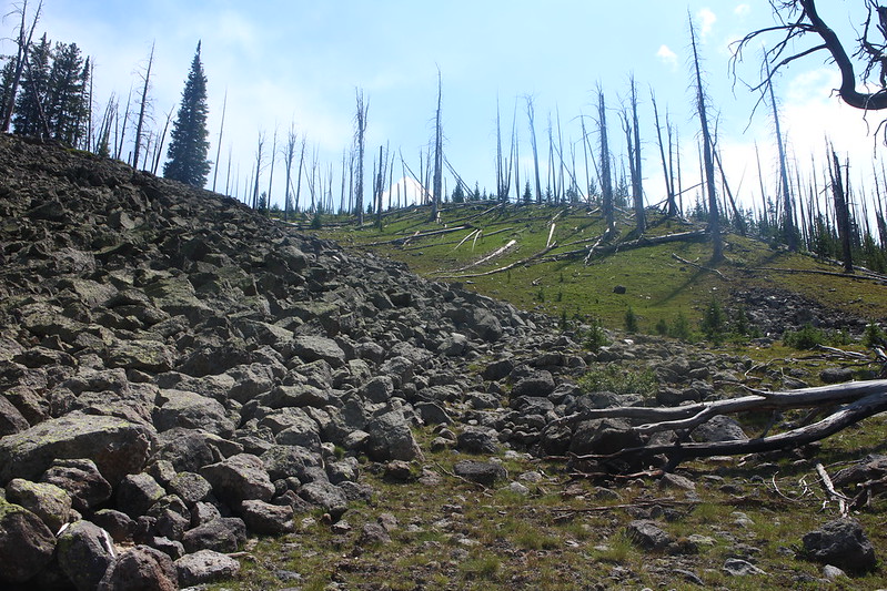
Climbing up onto the plateau - This rock field had at least three Pikas running through it. They were too fast for me to get a picture though and I didn't have time to sit and wait for them to pose for me
The view on top of the Madison Plateau

Looking off the plateau towards Mount Sheridan in the distance
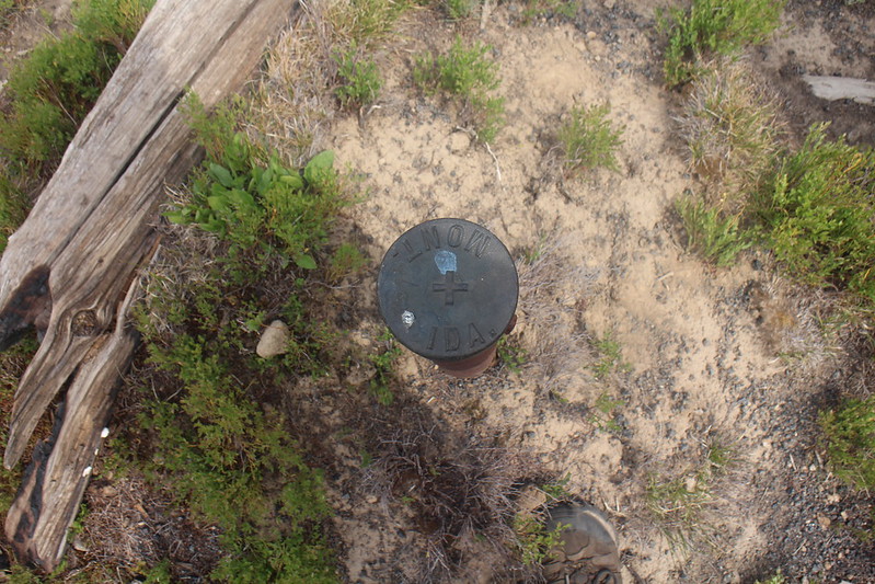
State boundary post(?) on the plateau
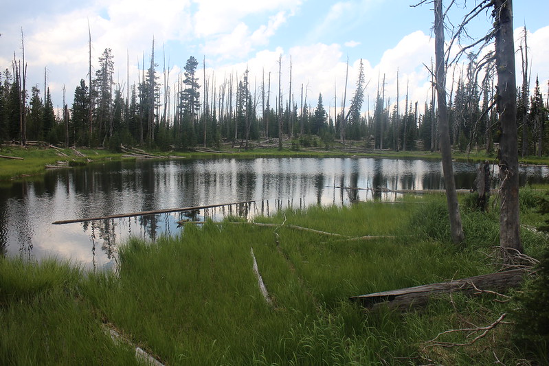
Plateau Lake
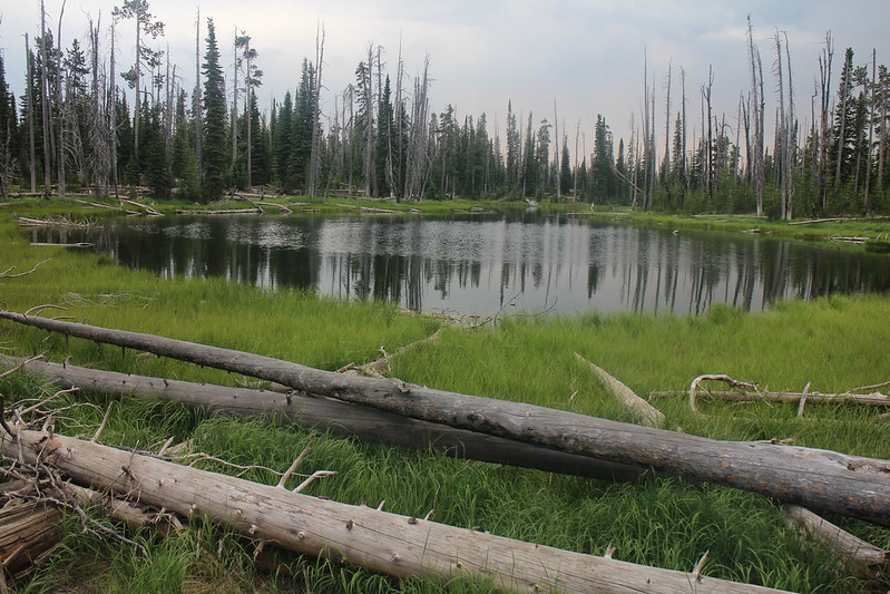
The north end of Plateau Lake
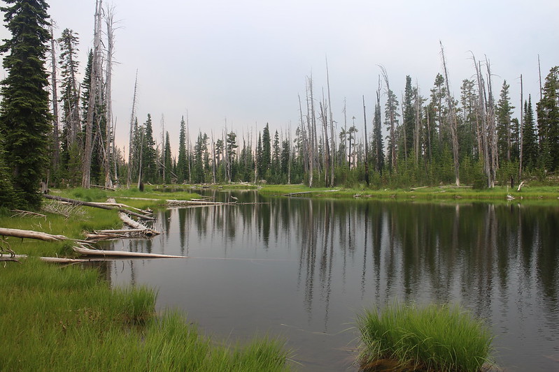
Plateau Lake
Our route back to camp
In the thick of it
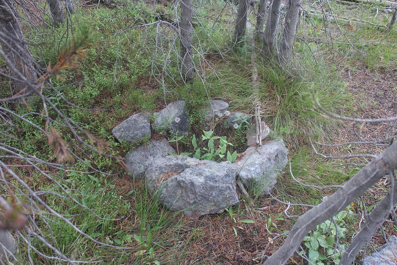
Old fire ring from many moons ago.
This stream eventually flows into the stream we followed earlier in the day before hiking up on the plateau
More wildflowers

We ran into quite a few of these small thermal features on our way back to camp
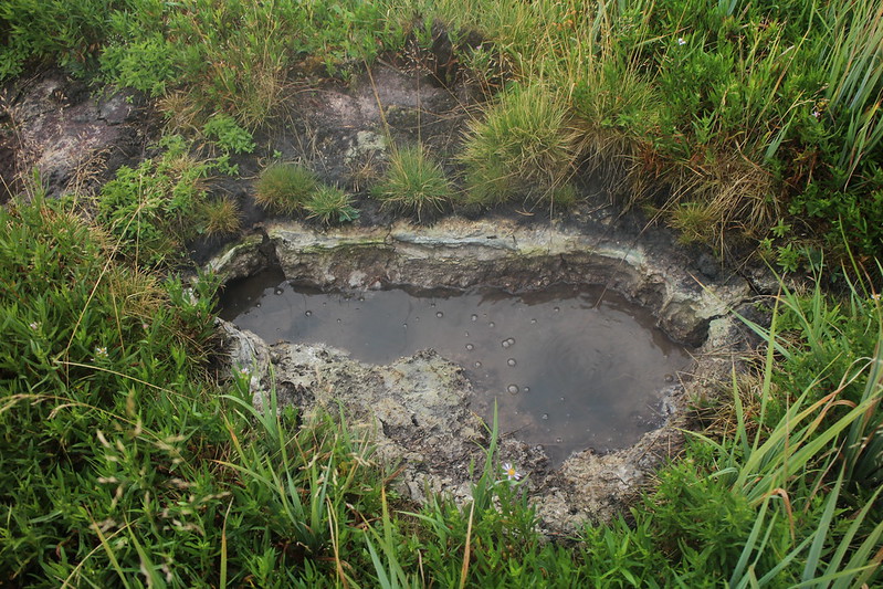
Thermal feature
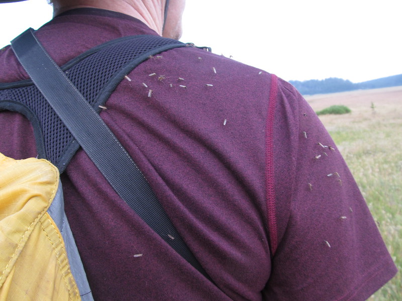
Of course this is Mosquito country
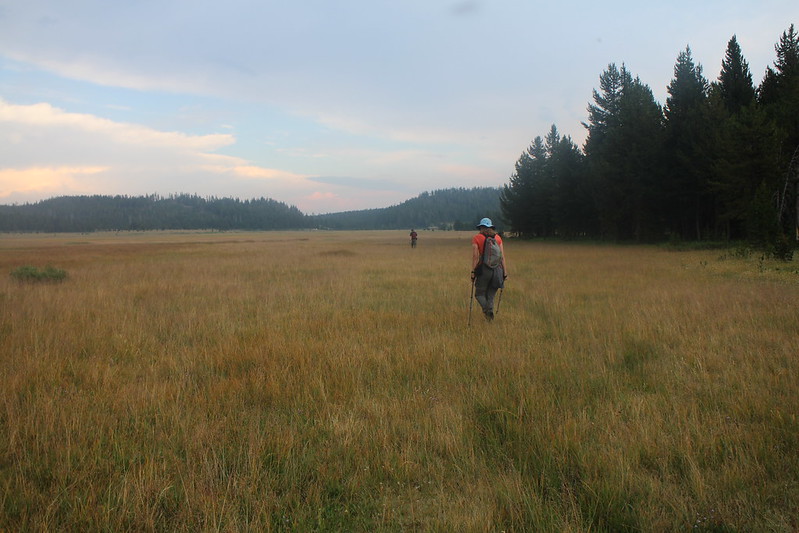
Returning to the Little Firehole Meadows
Back at camp as the sun begins to go down. The end to an exciting and long day!
I'll post our day hike to Buffalo Meadows the following day in a separate post later.